 Knowledge Centre
Drainage Design for Future Rainfall Intensity 2026
Table of Contents
- Why 2026 Rainfall Data Changes Drainage Design
- What You'll Need Before You Start
- Step 1: Apply the Climate Change Allowances for Drainage Design
- Step 2: Calculate Future Rainfall Intensity for Your Site
- Step 3: Build Hydraulic Modelling for Sustainable Drainage
- Step 4: Meet LLFA SuDS Planning Application Requirements
- Common Mistakes to Avoid
- Conclusion
- Frequently Asked Questions
Last Updated: 21 October 2026
Why 2026 Rainfall Data Changes Drainage Design
If you design drainage for future rainfall intensity in 2026, the starting point is no longer historical rainfall records. It is the climate change allowances published by the Environment Agency, which push designers to test drainage against much heavier storms than the site has actually seen. At The Drainage Designers, we build every scheme around those allowances.
Rainfall intensity is the rate at which rain falls over a set period, usually measured in millimetres per hour for a given return period. A 1-in-100-year storm today carries more water than the same storm did thirty years ago. That shift is the whole reason drainage design has changed.
Here is the practical consequence:
- Pipe sizing based on 1990s data will underperform
- Attenuation volumes need to grow, not shrink
- Planning authorities now expect climate change evidence in the submission
The Environment Agency publishes the current climate change allowances guidance, and it is the document every designer should open before touching a drawing.
What You'll Need Before You Start
Gather the inputs first. Missing information is the most common cause of a stalled application.
You will need:
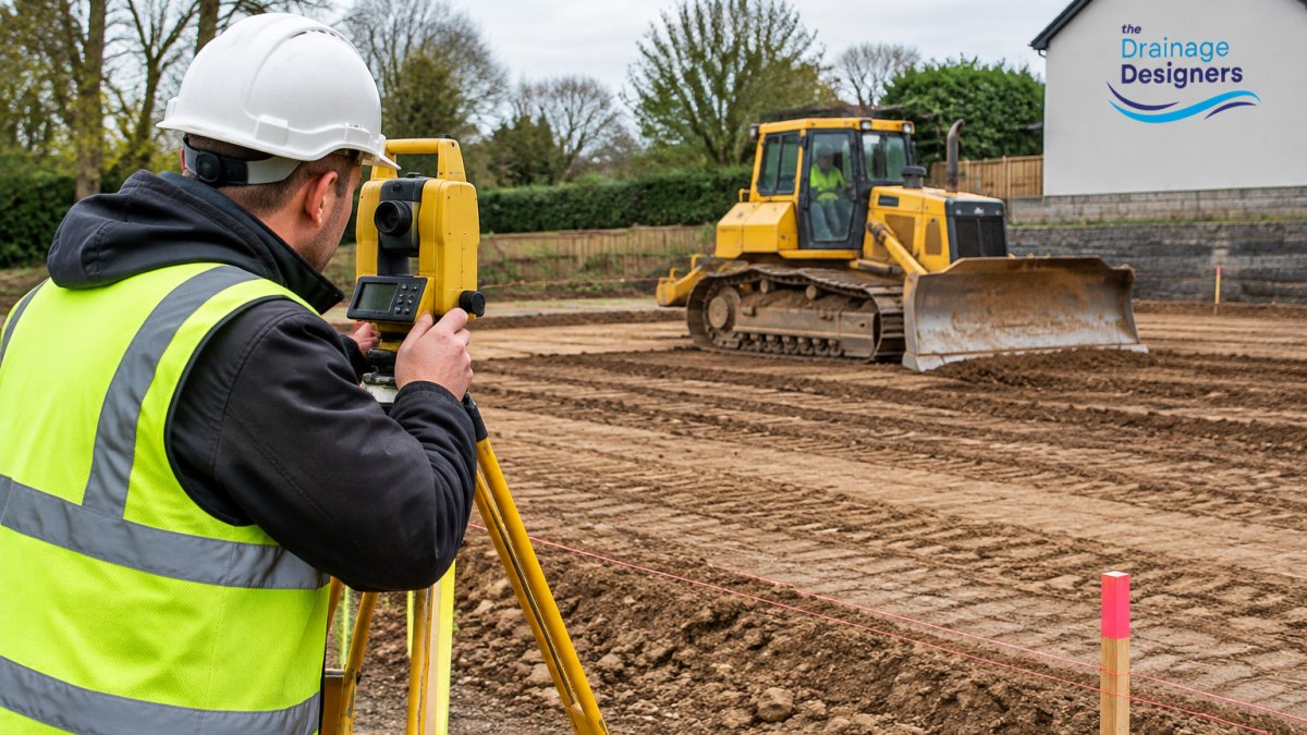
- Topographic survey with levels to 50mm accuracy
- Site location plan and red line boundary
- British Geological Survey borehole data or infiltration test results
- Existing drainage records from the sewerage undertaker
- The relevant Local Planning Authority and Lead Local Flood Authority contacts
- Greenfield runoff rate calculation for the site
A common mistake is ordering infiltration testing too late. If the ground turns out to be clay, the whole strategy shifts from soakaways to attenuation and controlled discharge. Testing early saves weeks.
Step 1: Apply the Climate Change Allowances for Drainage Design
Climate change allowances for drainage design are the percentage uplifts applied to rainfall intensity to account for a future, warmer climate. They vary by region and by the type of development, so you cannot copy a figure from a neighbouring county.
The process runs in four moves:
- Identify the management catchment for your site using the Environment Agency's catchment data
- Select the appropriate allowance for the development lifespan (residential schemes typically use the central allowance for the 2050s epoch)
- Apply the uplift to your design storm rainfall depths
- Record the allowance, epoch and source in your design statement
The official flood risk assessments guidance sets out how these allowances feed into planning. Get this step wrong and the LLFA will return the application with a request for further information, which costs you weeks.
Write the allowance down. Every reviewer will ask for it.
Step 2: Calculate Future Rainfall Intensity for Your Site
Future rainfall intensity is calculated by taking the design storm depth for your return period and multiplying it by the climate change uplift factor. The result is the rainfall figure your pipes, swales and attenuation must handle.
Work through it like this:
- Pull the baseline rainfall depth for your return period from the Flood Estimation Handbook
- Confirm the design storm duration (typically 15, 30, 60 and 360 minutes for a full check)
- Apply the percentage uplift from Step 1 to each duration
- Convert depth to intensity in mm/hr for your hydraulic model
Short-duration storms matter more than most people expect. A 15-minute summer downpour drives gutter and pipe capacity, while a 6-hour storm drives attenuation volume. You need both.
Keep the calculation transparent. A clear table of durations, depths and uplifted intensities in your design statement makes approval far smoother.
Step 3: Build Hydraulic Modelling for Sustainable Drainage
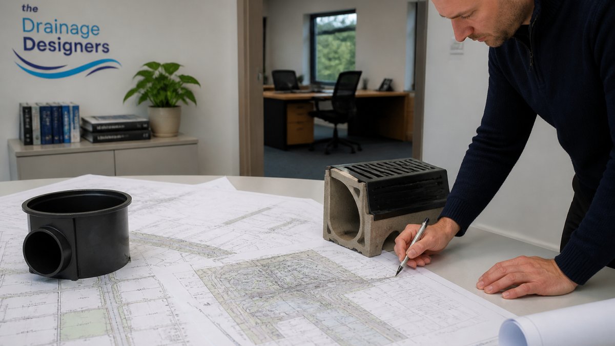
Hydraulic modelling for sustainable drainage is the process of simulating how flows move through the site under design storms, so you can size pipes, storage and flow controls with evidence rather than guesswork. It is where the numbers from Step 2 become a buildable scheme.
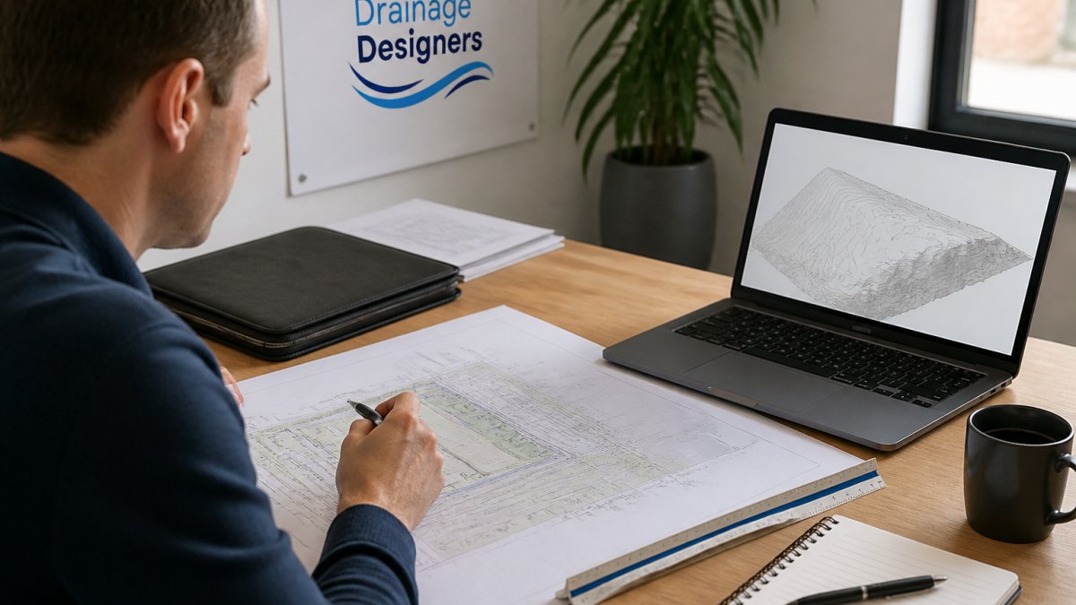
Model the network in a recognised package and check three things:
- No flooding for the 1-in-30-year storm
- Controlled flooding contained on site for the 1-in-100-year storm
- No flooding to buildings for the 1-in-100-year plus climate change event
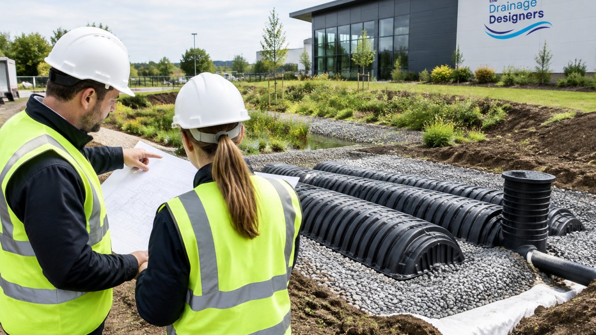
Sustainable drainage systems, or SuDS, add features like permeable paving, swales, basins and ponds. Model each one with realistic infiltration and discharge rates. Optimistic assumptions here are the fastest route to a failed check.
Step 4: Meet LLFA SuDS Planning Application Requirements
LLFA SuDS planning application requirements are the submission standards set by the Lead Local Flood Authority for your area. Most now expect a drainage strategy, a hydraulic model, evidence of climate change allowance, and a maintenance schedule before they will comment favourably.
The core submission usually includes:
- A drainage strategy report with the design philosophy
- Site plans showing all SuDS features and exceedance routes
- Hydraulic calculations for all design storms
- Infiltration test results or ground investigation data
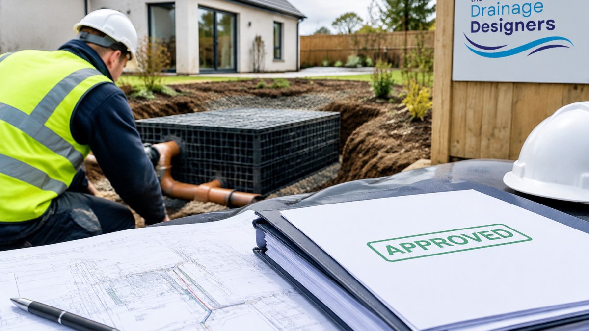
- A maintenance and management plan naming who owns each feature
Authorities differ. Some want a detailed model file, others accept a summary. Ask the LLFA's validation team what they need before you submit. A short email at the start saves a rejected application later.
Common Mistakes to Avoid
Using outdated rainfall data. The biggest error is basing design on historical records without the climate change uplift. It fails validation almost every time.
Ignoring exceedance routes. Reviewers want to see where water goes when the system is overwhelmed. Blocked or unclear exceedance paths trigger conditions.
Thin maintenance plans. Naming a management company and a schedule is not optional. Unclear ownership is a frequent reason for refusal.
Late infiltration testing. Testing after the design is fixed forces expensive redesigns.
Skipping the pre-application conversation. A quick call to the LLFA and the Local Planning Authority clarifies local expectations and prevents surprises.
Conclusion
Designing drainage for heavier future rainfall is a methodical job: get the allowances right, calculate intensity properly, model honestly, and submit to the LLFA's actual requirements. Do those four things and the technical side largely takes care of itself.
The harder part is knowing what each authority expects and getting the submission right first time. That is where we come in. The Drainage Designers offer a nationwide service, covering everything from site visits and flood risk assessments to final approvals, with a transparent and ethical customer charter and a focus on meeting Local Authority and Lead Local Flood Authority requirements. Get in touch to discuss your project and move your drainage design forward with confidence.
Frequently Asked Questions
What are the current climate change allowances for drainage design?
The allowances set the percentage uplift you apply to rainfall intensity so a system copes with the heavier storms expected over its lifetime. They vary by region and by the type of development, and they are revised periodically, so you should always check the latest published figures before you fix pipe sizes or storage volumes. Applying an out-of-date allowance is one of the most common reasons a drainage design is sent back with conditions.
How do I calculate future rainfall intensity for a SuDS planning application?
Start with the design storm duration and return period your site needs, take the baseline intensity from the approved rainfall data, then apply the relevant uplift for your region and development type. Factor in the impermeable area and any existing drainage you are retaining. Document every assumption, because the LLFA will want to see how you arrived at the figure. A hydraulic modelling for sustainable drainage check then confirms the network and storage cope with that intensity.
What role does the Lead Local Flood Authority play in drainage approval?
The LLFA is the statutory consultee on surface water drainage for major planning applications. It reviews your drainage strategy, checking that runoff rates, storage and water quality measures meet local standards and the wider SuDS hierarchy. Its comments can add conditions or trigger a redesign, so engaging early and matching the authority's published checklist saves time. Requirements differ between authorities, which is why local knowledge matters.
Why is 2026 a critical benchmark for drainage design standards?
Development consented now will still be draining in decades, so designs are tested against the rainfall the site is expected to see over that lifespan, not today's figures. Using the current 2026 climate change allowances means your system is sized for the heavier storms forecast, rather than being undersized within a few years. That forward-looking approach is what the LLFA expects to see when it reviews a drainage strategy.